Stefanie Wieschalla
Geog 206
Part1:
1. Each map has a different level of map generalization. However, one would have more problems with feature generalization and omission in small scale maps because they cover bigger areas and hence show less detail.
2. Snapping, in the context of digitizing can be understood as a process that automatically sets nearby points to have the same coordinates. It further relies on snap distance, which can be interpreted as a minimum distance between features. The practice of snapping is important given that it when used properly, it reduces the number of undershoots and overshoots. Hence closed polygons or intersecting lines are easier to digitize accurately and efficiently.
3. COGO is short for coordinate geometry, a process that may be used to calculate station coordinates that are part of surveys or otherwise known as survey coordinates. It generally consists of a starting point, a station, and a list of directions, bearings, and distances to subsequent stations. The COGO defines a connected set of points from the starting station to each subsequent station.
Part 2:
Exercise A
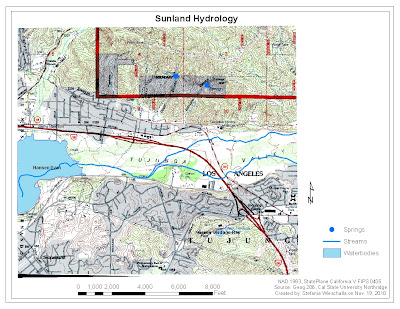
Q. The feature class type for Springs is point.
Exercise B
Parcel Editing Screen Shot


